


A collaborative international research effort has produced a new way to observe forest growth across large regions over extended time periods using satellite data. The work provides the first continuous record of annual forest canopy height, opening new avenues for tracking biomass accumulation, forest health, and the potential for global carbon storage.
Forests are vital to Earth’s carbon cycle and support diverse ecosystems, but understanding how they grow and change over decades has historically required costly and labor-intensive field measurements. Traditional forest maps provide snapshots rather than continuous growth patterns, limiting their usefulness for long-term analysis and policy planning.
New Satellite-Driven Forest Growth Data
Researchers from the Chinese Academy of Sciences, the University of Copenhagen, and partner institutions used the Landsat satellite archive and advanced machine learning to reconstruct annual canopy height maps from 1986 through 2019. These maps were generated at 30-meter resolution and validated with airborne lidar measurements and national forest inventories to ensure accuracy.
This method uses a Random Forest machine learning model trained on existing global canopy height products to predict vertical forest growth patterns from satellite spectral data. The model showed consistent performance across different regions and decades.
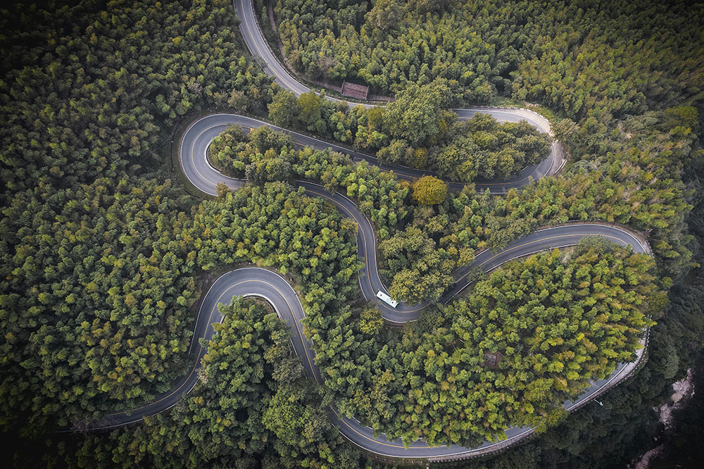
The analysis revealed that forests in southern China have grown significantly over the past three decades. Average canopy height increased from approximately 6.4 meters in 1986 to more than 10.3 meters in 2019, a rise of over 60 percent. Plantation forests showed faster growth cycles, while secondary forests grew more steadily.
Key Drivers and Environmental Insights
Statistical analysis identified major factors influencing forest height changes. Forest age was the strongest determinant, followed by precipitation and temperature. Soil characteristics also influenced potential maximum height. This shows that both ecological conditions and human management practices play a central role in shaping long-term forest structure.
According to the lead researchers, this approach now allows observation of how forests grow year by year, not just where they exist. This is critical for evaluating reforestation success, guiding sustainable forest management, and enhancing climate mitigation strategies.
Benefits for Climate Science and Policy
Long-term, high-resolution forest growth records have numerous environmental and policy applications. They can improve estimates of carbon accumulation and forest biomass, support biodiversity conservation, and help authorities monitor restoration outcomes. As remote sensing archives and analytical tools become more accessible, similar methods can be applied to other regions experiencing reforestation, afforestation, or plantation expansion.
Satellite-based monitoring aligns with broader global efforts to quantify forest changes and to integrate Earth observation into climate reporting frameworks. Such data are essential for accurate national greenhouse gas inventories and for implementing effective land-use policies aligned with climate goals.
Looking Forward
Advances in satellite technology and machine learning are transforming how scientists study forest ecosystems. Continuous remote monitoring from space enables measurement of forest growth across vast, often inaccessible areas, making long-term trend analysis feasible at a global scale.
This research underscores the increasing value of Earth observation systems for environmental science, climate policy, and natural resource management.